Tuesday, November 22, 2016

Aerial Survey & Mapping aircraft at Rockhampton

Not entirely sure why, however, presumably to conduct a survey or aerial mapping assignment of some sort, Interair Pty Ltd Piper PA-31-310 Navajo VH-FHJ flew a pattern above Shoalwater Bay Training Area (SWBTA) and surrounding region north of Rockhampton on three occasions over a four day period after the completion of Exercise Wallaby 2016.

Ferrying from Archerfield to Rockhampton on Tuesday, November 08, VH-FHJ remained parked on the General Aviation tarmac until taking to the air for it's assigned task on Friday, November 11. The process was repeated on Saturday, November 12, and again on Monday, November 14
 
VH-FHJ departed back to Archerfield after it's survey flight on Monday.


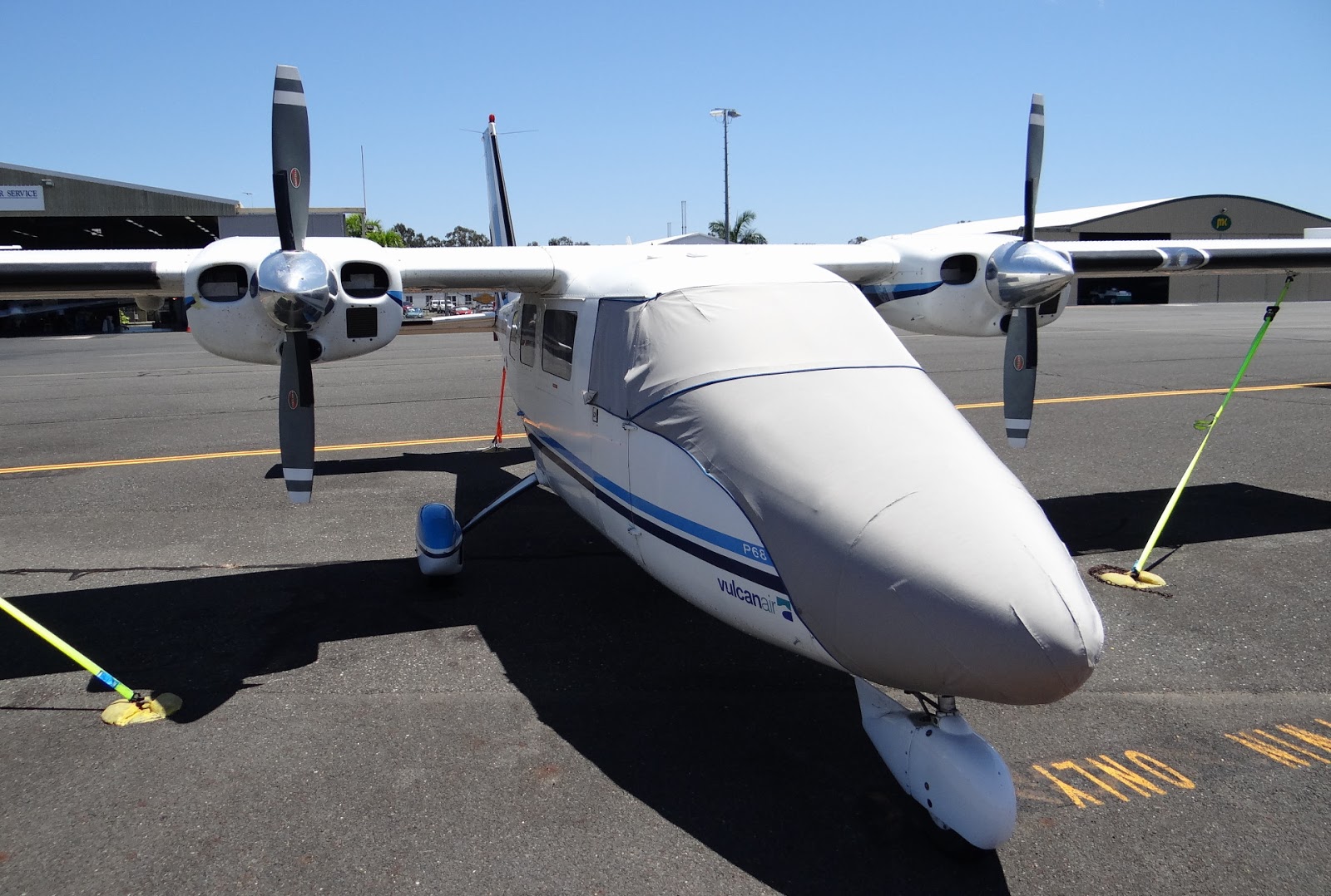
Meanwhile, also recently photographed on the GA tarmac at Rockhampton was Vulcanair S.P.A. P.68C VH-CFT, one of two locally based P.68C aircraft operated by Atlass Aviation, an Aerometrix owned company.

Along with sistership VH-KBO, VH-CFT is fitted with a modern LiDAR (Light Detection and Ranging) aerial mapping suite capable of producing 3D models of the landscape using laser technology.

Without divulging detail about this technology here, in-depth information however can be found at the Atlass-Aerometrix website : http://www.atlass.com.au/